In short
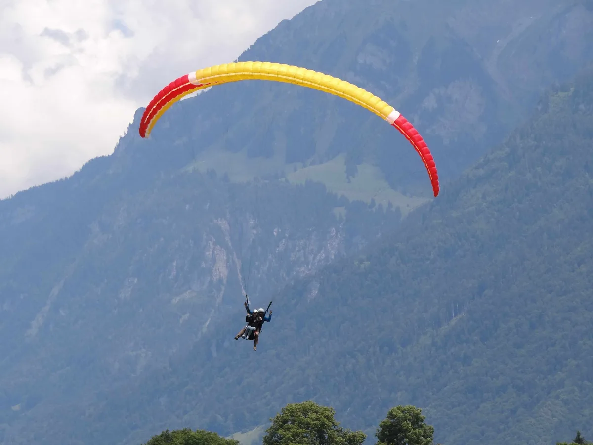
Tandem flights over Interlaken are the region's most visible activity: on a clear afternoon the sky above the town is full of them, and they all land on the same meadow. Two things about booking one are worth knowing before you look at any operator.
Quick Facts
- Elevation
- 567.7 m (landing meadow)
- Getting There
- 11 min on foot from Interlaken Ost Walking time checked
- Duration
- 2–3 hrs including the ascent and the wait
- Price
- Varies by operator
- Season
- Year-round, weather permitting; the biggest flight only from May to October
- Best for
- Fair-weather days — book it early in your stay
Chapter 01
It is sold by height, not by time
Of the three operator pages this one draws on, one publishes no flight duration at all, and that is not carelessness. What it sells is a height gain — typically 500, 800 or 1,100 metres — and the time in the air follows from the conditions on the day. The other two do quote a time, and both quote the same one: ten to twenty minutes in the air, explicitly weather-dependent (both retrieved on 5 August 2026).
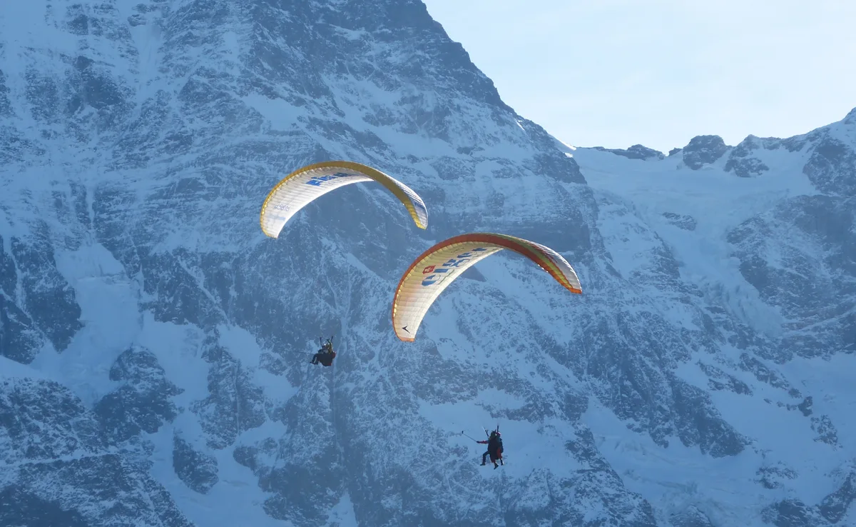
So when comparing offers, compare the metres. Even where a time is quoted it is a span of a factor of two, and the day's thermals decide where inside it you land — it describes the conditions, not the thing you are buying.
Chapter 02
The part nobody selling it puts first
Flights are cancelled at short notice, and often. "Year-round" describes the operating season, not your booking: wind and cloud base decide on the morning. The practical consequence is simple and worth more than any price comparison — book it for the first day of your stay, not the last. A cancellation then still leaves room for a second attempt.
Wind at the launch band over the next days
The figures apply to the documented launch band at 1,368 m — ten metres above ground, as the forecast provides them. They are here because this page advises putting the flight at the start of your trip: for that you need the next few days side by side.
Loading wind figures …
This is not a clearance. Whether flights run is decided by the operator in the morning, on readings no portal provides.
Wind: Open-Meteo (CC BY 4.0), daily maxima at the launch band. The point comes from the flight map above.
Chapter 03
Take-off and landing
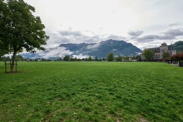
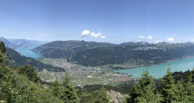
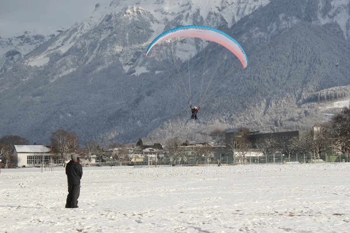
Take-off is above the valley, most often at Beatenberg, sometimes from the Harder side. Landing is on the Höhematte in the middle of town — which means the final approach is free to watch from a bench, and a good way to decide whether you want to be up there at all.
Where the flights start and end
Launch area and landing meadow to scale from coordinates. The three bands are the measured hillside altitudes of the three height tiers sold; the arrow shows the direction of flight, not a track.
- 500 metres of descent short flight
- 800 metres of descent top flight
- 1,100 metres of descent high flight
The actual path depends on the day’s wind and thermals and differs on every flight. Take-off area and height bands from operator figures (Beatenberg, 800 metres of descent); the slope positions were measured against swisstopo terrain on 5 August 2026. Contour lines every 200 m, computed from the same terrain model. Straight line from the take-off band to the meadow 5.2 km over 800 m of descent, so roughly 6 metres of travel per metre of descent — the flown distance is longer, because hardly anyone flies straight to the meadow. © OpenStreetMap-Mitwirkende · Gelände © swisstopo
The map shows what you are choosing between when you compare metres: each height sold is drawn as the measured contour above the landing meadow, not as a take-off pin. Operators name a place and a height, never a coordinate — a pin would claim a precision nobody has published.
Chapter 04
On choosing an operator
Six operators fly here, and this page ranks none of them: there is no evidence that would support it, and a recommendation without evidence is a purchase recommendation without evidence. What can be said is what to ask about — the height package, the take-off site, the minimum age, the cancellation and rebooking terms, and the insurance. Those five answers differ between operators; the view does not.
Frequently Asked Questions
How much does paragliding in Interlaken cost?
There is no single figure, and this page gives none: six operators fly here at differing rates, and no evidence supports recommending one over another. What matters more for planning is how it is sold — not by minutes in the air but by height gained, typically 500, 800 or 1,100 metres. Compare that number, not the flight time.
How long is the flight?
Two of the three operator pages this one draws on quote the same span — ten to twenty minutes in the air, explicitly weather-dependent (both retrieved on 5 August 2026). The third publishes no duration at all, and that is not an oversight: what it sells is a height, and the time in the air follows from conditions on the day. Either way it is not a promise — a span of a factor of two is settled by the day's thermals, and the flight is the shortest part of the appointment anyway.
Where do you take off and land?
Take-off is above the valley — Beatenberg most commonly, sometimes Harder. Landing is on the Höhematte in the middle of Interlaken, which is why you can watch the whole final approach from town without booking anything.
What happens if the weather is bad?
The flight is cancelled, often at short notice, and that is the single most useful thing to know about it. "Year-round" describes the operating season, not your booking. Book it for the first day of your stay rather than the last, so a cancellation still leaves room for a second attempt.
Related Articles