In short
Two booked activities sharing one heading. What separates them is quickly said; what you need to know before booking is said by almost nobody — so it comes first here.
Quick Facts
- Elevation
- 588 m (Wilderswil)
- Getting There
- Pick-up in town
- Duration
- Half day
- Price
- Varies by operator
- Season
- Summer
- Best for
- Varies by provider — settle the age limit first
Chapter 01
What is actually on offer
Two different things under one heading. Canyoning means descending a gorge — abseiling, jumping, sliding, in a wetsuit. Rafting means going down a river in an inflatable boat. Both run in summer, both begin with a pick-up in town, and the access points are around Wilderswil and along the Lütschine.
Chapter 02
What to settle before booking
This page names no provider and no price — there is no evidence to support a recommendation, and a recommendation without evidence is a purchase recommendation without evidence. What it names instead are the four points no seller puts first:
- Minimum age — differs by provider and tour; there is no single limit.
- Swimming ability — usually required, with the strictness varying by gorge.
- Season — summer; outside it, nothing runs.
- No travelcard coverage — not GA, not Half Fare, not the Swiss Travel Pass, not partially.
Chapter 03
Where this actually happens
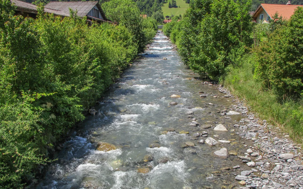
Both activities hang on two watercourses that meet at Wilderswil: the Saxetbach comes down out of the Saxet valley and joins the Lütschine there. That is why one village is the access point for both — and why they are nonetheless two different sports.
Why these are two different sports
Both watercourses to scale from coordinates. The Saxetbach and the Lütschine meet at Wilderswil — and that is exactly where the two activities part company: one plunges, the other flows.
- Canyoning Saxetbach
- Rafting Lütschine
The Saxetbach falls about 21 times as steeply as the Lütschine — which is why one is abseiled and the other rowed. The four altitudes were measured individually against the swisstopo height service. Wikipedia names three of them, and the two sources agree to the metre: 589.4 against «about 590», 645.5 against 646, 563.8 against 564 — two independent sources, the same number. For the fourth point, the upper end of the drawn stretch, Wikipedia gives no altitude; it gives the source, which lies higher. Where exactly the gorge begins and ends is published by none of the sources consulted — the highlight shows the lower course as an approximate stretch, not a surveyed one. That the Lütschine is the rafting river has long been stated on this site and comes from providers. It could not be read at any primary source: three provider pages were requested — one returned 404, one redirected to a landing page naming no watercourse, and the third had an expired certificate. The map therefore draws the river and its measured altitudes; the label «rafting happens here» stays marked as a provider claim and is not presented as a measurement. River courses © OpenStreetMap contributors · altitudes swisstopo (height service) · gradient and length figures de.wikipedia.org
Chapter 04
What the map explains: weather in the catchment
A gorge with that gradient responds to rain falling higher up. The Saxetbach gathers its water over a good ten kilometres, out of a catchment whose highest point is the Schwalmere at 2,777 m — far above the source of the stream itself; what falls up there arrives below shortly after. A guide who cancels under a blue sky over Wilderswil is not being difficult — they are reading the right map.
This valley knows how serious that is: on 27 July 1999 a sudden flood in the Saxetbach killed 21 people, among them three guides. It is stated here not for drama but because it is the one figure on this page that makes a cancellation obviously reasonable in advance — and because no provider puts it first.
Rainfall in the valley and in the catchment
Two points on the map above are measured: the upper course at 2,317 m and the valley exit at 589 m, 1,728 metres apart in altitude. The catchment reaches higher still.
Loading rainfall figures …
This is not a clearance. Whether a tour runs is decided by the operator on site — and a cancellation under a blue valley sky can be exactly right.
Rainfall: Open-Meteo (CC BY 4.0). Both points come from the map above.
Chapter 05
Getting there
There is no travel time, because there is no station you travel to: the operators pick up in town. The geographic reference is Wilderswil, the access village for both gorges — which means the transfer is part of the booked time rather than something you arrange beforehand.
Frequently Asked Questions
How much does canyoning or rafting in Interlaken cost?
It depends on the provider and the tour, and there is deliberately no figure here: prices differ by gorge, duration and group size, and this page recommends no provider. What matters instead is below — minimum age, swimming ability, and whether any travelcard applies. The answer to the last one is short: none does.
Is it covered by the Swiss Travel Pass?
No. Canyoning and rafting are booked services from private operators, not transport — no GA, Half Fare Card or Swiss Travel Pass covers them, not even partially. This is one of the very few things in the region with no pass coverage at all, and it is where budgets usually go wrong.
What is the minimum age?
It varies by provider and tour — and that is the finding, not an evasion: there is no single age limit. Some tours start in the teens, others require adulthood. If you are planning with children, settle the limit before booking rather than after, and expect it to differ by gorge.
Do you need to be able to swim?
For most tours yes, and providers apply it with differing strictness. On the Lütschine rafting it is effectively universal; for canyoning it depends on the gorge. If you are unsure, ask about the requirement for that specific tour rather than the general rule.
Related Articles