In short
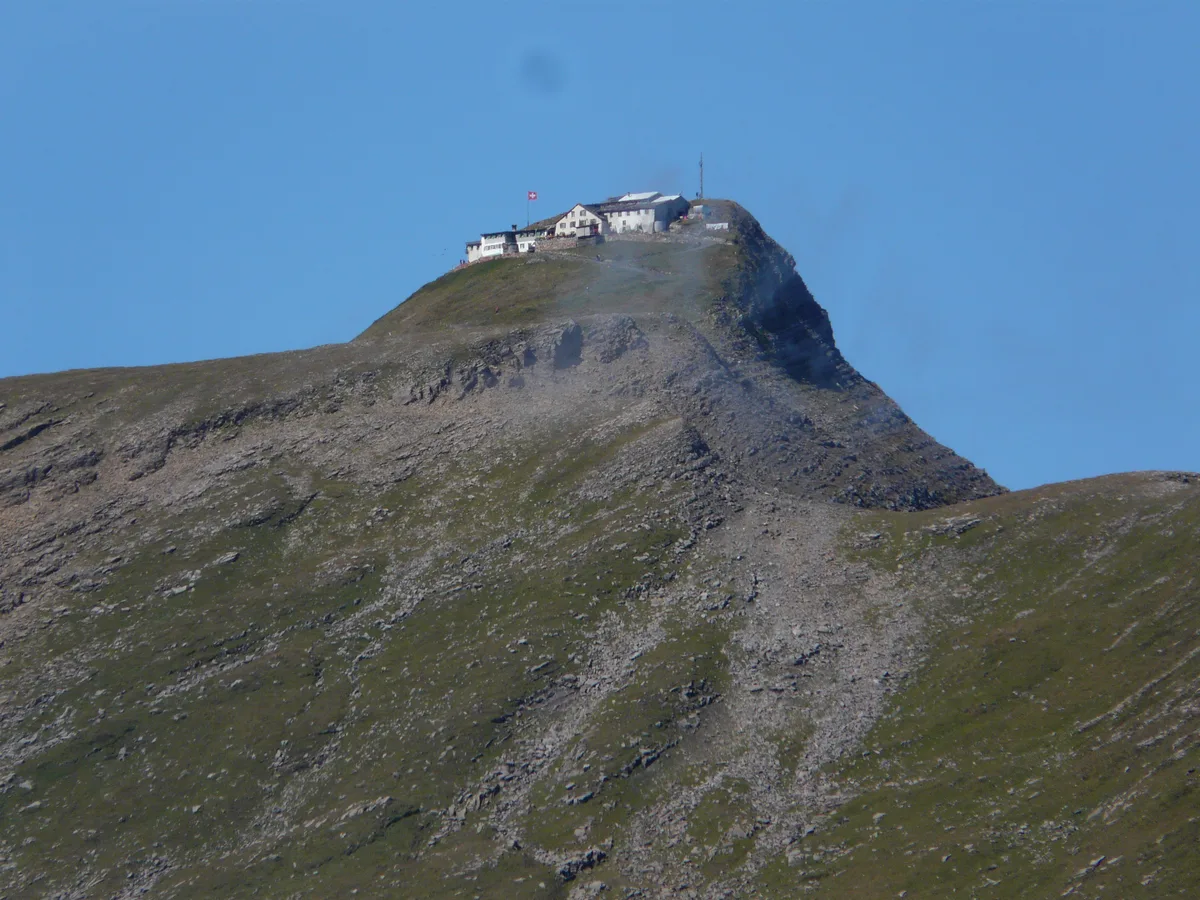
The Faulhorn is the high point of the ridge between Grindelwald First and Schynige Platte, and the only well-known viewpoint in the Bernese Oberland with no railway to the top. On the summit stands an inn that has been in business since 1830. If your Swiss itinerary so far has been a sequence of lifts and panorama terraces, this is the day that works differently: you walk, and you can stay up there.
Quick Facts
- Elevation
- 2,681 m
- Getting There
- 42 min to the First valley station, then gondola and on foot Journey time checked
- Duration
- Full day
- Price
- Not verified
- Season
- June–October, depending on conditions
- Best for
- Hiking, views, staying overnight
Chapter 01
Where it fits in a rail-based trip
Most viewpoints in this region are a ticket: you ride up, you look, you ride down, and a travel pass either covers it or discounts it. The Faulhorn is not that. The public journey ends at the First valley station in Grindelwald — 42 minutes from Interlaken Ost with one change, measured against the Swiss timetable for a summer weekday — and everything above that is a lift plus your own legs.
The practical consequence for planning is the day, not the fare. This is a full-day commitment out of an Interlaken base, and it does not combine well with a second sight in the same day. If your itinerary allows one walking day in the Jungfrau region, this is a strong candidate for it — and if it does not, the honest answer is further down this page.
Chapter 02
Between two places you may already have on your list
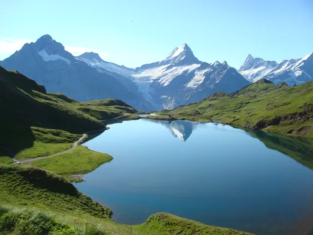
The Faulhorn sits in the middle of a line whose two ends both have their own page here: the Bachalpsee on the Grindelwald side and Schynige Platte to the west. Walk the ridge between them and the Faulhorn is the bump in the middle you go over rather than around.
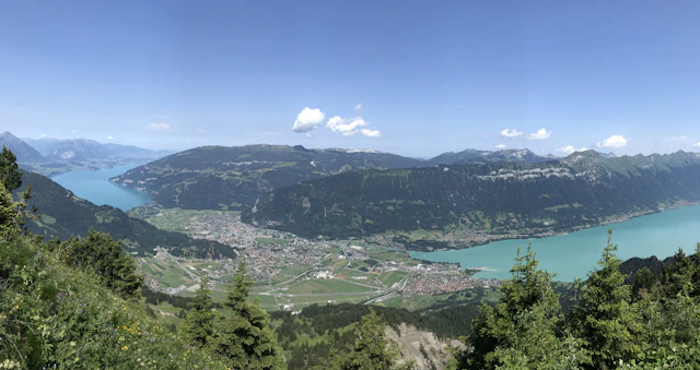
That also gives the most honest framing we can offer. Most of the view people climb for is already available at the Bachalpsee — Eiger, Mönch and Jungfrau line up from there just as well. What the summit adds is the northward panorama over Lake Brienz and the lowlands beyond, which you do not get on the way up. If you want to see the big three, you do not need to climb. If you want to stand above everything, you do.
Chapter 03
The inn from 1830
The Berghotel Faulhorn on the summit describes itself as running since 1830, among the oldest mountain inns in the Alps. For planning, the season matters most: the operator states on its own site that it is on its winter break and expects to reopen from 19 June 2027 (checked 10 October 2026), and takes reservations for the 2027 season from January 2027. Room rates are not published on that page, so we quote none. An overnight at this altitude is rare enough to be worth the enquiry if a sunrise above the cloud line appeals to you.
Berghotel Faulhorn — opening and reservations direct with the inn
Chapter 04
Is it worth it for you?
Probably yes if you have a whole day, you enjoy walking for hours at a stretch, and you would rather earn a view than buy one. The inn also makes an overnight possible at an altitude where that is otherwise hard to arrange.
Probably not if you are travelling with small children, the weather is uncertain, or the three famous peaks are what you came for. In that case the Bachalpsee is the more honest recommendation: much the same view, a fraction of the effort, and the lift takes you most of the way.
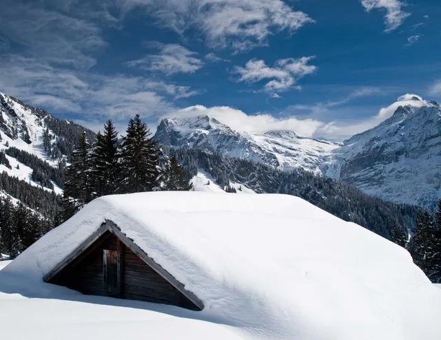
One thing the operators will not tell you: snow lies far longer at 2,681 m than in the valley. The "June–October" in the table above is a rule of thumb for the altitude, not a guarantee. In early summer and late autumn, check current conditions before you set out.
Weather at 2,681 m
The forecast applies to 2,681 m above sea level — 2,113 metres above Interlaken (568 m). The temperatures are computed for that altitude, not for the valley. The weather word for each day, by contrast, describes the area as a whole — it can say «overcast» while the destination itself sits above the cloud.
Loading the forecast …
Forecast for 2,681 m — data: Open-Meteo.com (CC BY 4.0)
Frequently Asked Questions
How do you get to the Faulhorn?
On foot, and only on foot. No railway or cable car reaches the summit, which sets it apart from almost every other viewpoint in this region. Public transport takes you as far as the First valley station in Grindelwald — 42 minutes from Interlaken Ost with one change, measured against the Swiss timetable for a summer weekday. From there the gondola runs up to First and you walk on past the Bachalpsee — that is the usual approach. Bussalp and Schynige Platte are common starting points too, but neither is reachable from that valley station: Bussalp is served only by mountain bus route 126 from Grindelwald station, Schynige Platte by the rack railway from Wilderswil. Each is a journey of its own.
How long is the hike to the Faulhorn?
We do not publish a walking time, and that is a decision rather than an omission. On 8 August 2026 we checked four sources — SchweizMobil, the cableway operator's own hiking pages, the Swiss Alpine Club route portal and the destination's own listing. Two returned an error and the other two gave no figure comparable with the rest. A walking time also depends entirely on where you start: coming from First is a different undertaking from coming along the ridge from Schynige Platte. We would rather say we cannot evidence it than print a plausible-looking number.
Is the Faulhorn open?
The inn on the summit states on its own site that it is on its winter break and expects to reopen from 19 June 2027 (checked 10 October 2026); the German original reads «voraussichtlich ab dem 19. Juni 2027 wieder geöffnet», so the date is an estimate by the inn itself. It takes reservations for the 2027 season from January 2027. The path itself is not a facility that anyone opens or closes; it is walkable while there is no snow, and at 2,681 m that window is considerably shorter than down in the valley.
Is the Faulhorn covered by the Swiss Travel Pass?
Walking to the summit costs nothing, so there is nothing to cover. What does cost money is the cableway you are likely to use to gain height first, and we did not verify its pass conditions in this update — so we do not state them. Check the operator before you travel rather than relying on a figure from a guide.
Related Articles